

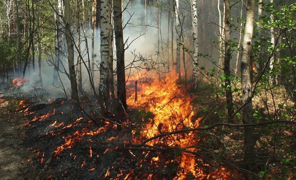
In order to anticipate the phenomenon of forest fires at the national level, the National Agency for Water and Forests has issued daily, on the basis of scientific data, forecast maps precisely identifying sensitive areas at risk of forest fires, from Monday July 29, 2024 to Wednesday July 31, 2024. Analyze data relating in particular to:
• The quality of the forest cover and its flammability and combustion;
• Climate forecasts and topographic conditions of the areas;
The regions were identified according to the degree of risk:
• Maximum risk (red level) in the provinces of: Chefchaouen, Taza, Guercif, Sefrou, Khenifra, Ifrane, Beni Mellal, Azilal, Oujda Angad and Taroudant.
• High risk (orange level) in the provinces of: Tangier-Assilah, Ouazzane, Taounate, Al Hoceima, Driouch and Essaouira.
• Medium risk (yellow level) in the provinces of: Tetouan, M’diq Fnideq, Larache, Fahs D’Anjra, Rabat, Skhirat-Temara, Salé, Kenitra, Nador, Berkane, Agadir-Ada Otanan.
Therefore, caution and caution must be exercised by residents living near forest areas or those working there, as well as by vacationers and visitors. They must avoid any activity likely to cause a fire and they must promptly inform the local authorities. They detect any smoke or suspicious behavior.
The National Agency for Water and Forests publishes maps that proactively predict where fires will occur
Font size: